G&P Associates - Blog
Point Clouds Explained: 3 Key Things You Should Know
Posted: June 4, 2024
In recent years, point clouds have stood at the forefront of architectural and engineering innovation, offering an unparalleled medium for capturing and modeling the physical world with high precision. That means if you’ve fallen behind the times a bit and aren’t sure what they are, it’s time to catch up.
In this post, we’ll explore the foundational aspects of point clouds, explaining everything you should know about them. This knowledge is essential for professionals seeking to leverage advanced technologies for more efficient project workflows.
How Point Clouds Are Created
At the core of creating point clouds is the process of capturing data about the physical world and translating it into a digital form. You can accomplish this through either laser scanning or photogrammetry.
Laser scanning, also known as LiDAR (light detection and ranging), involves emitting laser beams toward a subject and measuring the time it takes for each beam to return. This method is renowned for its accuracy and ability to rapidly capture data points from complex surfaces and geometries. Photogrammetry offers a different approach by using photographs from various angles to piece together a comprehensive digital model. This method hinges on sophisticated algorithms to analyze the overlap between images and construct a spatially accurate model.
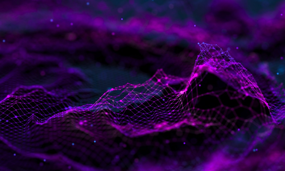
While both work in different ways, the processes still culminate in a point cloud, a collection of data points in space that collectively represent a subject. These points contain positional information and, frequently, color data, providing a detailed digital mirror of the scanned environment.
Software for Processing Point Clouds
Upon capturing a point cloud, the next step is to process the data electronically. This task demands robust software capable of managing large datasets and rendering them into usable models. Popular software solutions include:
- Autodesk ReCap: ideal for processing and converting 3D data into a mesh or 3D CAD model.
- CloudCompare: an open-source tool designed for editing and processing point clouds and meshes.
- Leica Cyclone: known for its comprehensive suite of applications for processing, analyzing, and converting point cloud data into navigable 3D environments.
These applications facilitate the visualization, editing, and analysis of point clouds, allowing architects and engineers to refine their models based on precise real-world data. While they each have areas in which they excel, each option here, as well as the many others online, will be able to assist you in handling the data you gathered when creating the point cloud.
Integration With BIM
The last thing you should know about point clouds is that this technology integrates very well with building information modeling (BIM). In fact, it’s been a game-changer for construction and design projects. BIM software can import point clouds and utilize them to create accurate and detailed 3D models of existing structures. This integration allows for:
- Enhanced preconstruction visualization
- Accurate clash detection and resolution
- Efficient retrofitting and renovation planning
Point cloud data ensures that BIM models are rooted in the precise reality of a project’s physical context, streamlining workflow and reducing the likelihood of errors during the construction phase. If you want to reduce the possibility of errors even further, you should look to professional 3d laser scanning services like the ones we offer. The team at G&P Associates is here to assist you with all your point cloud needs.