3D Laser Scanning Topographic Surveys
Are you ready to discover unparalleled accuracy and efficiency with your 3D topographical maps? If so, G&P Associates’ advanced 3D laser scanning topographic surveys are just for you. Tailored for those looking for the closest level of detail possible, our cutting-edge service ensures meticulous recording of environments, structures, and landscapes. By harnessing the latest in laser scanning technology, we provide detailed datasets that facilitate precise modeling, analysis, and planning phases.
Our comprehensive approach to SER-scanned topographical maps not only captures intricate details with high precision but also significantly reduces project turnaround time, empowering you to make informed decisions swiftly. Here at G&P Associates, we have dedicated ourselves to equipping professionals with the most accurate spatial data, transforming the way projects are conceived and executed. Elevate your architectural and construction projects with our expert 3D laser scanning topographical survey solutions, where clarity meets efficiency.
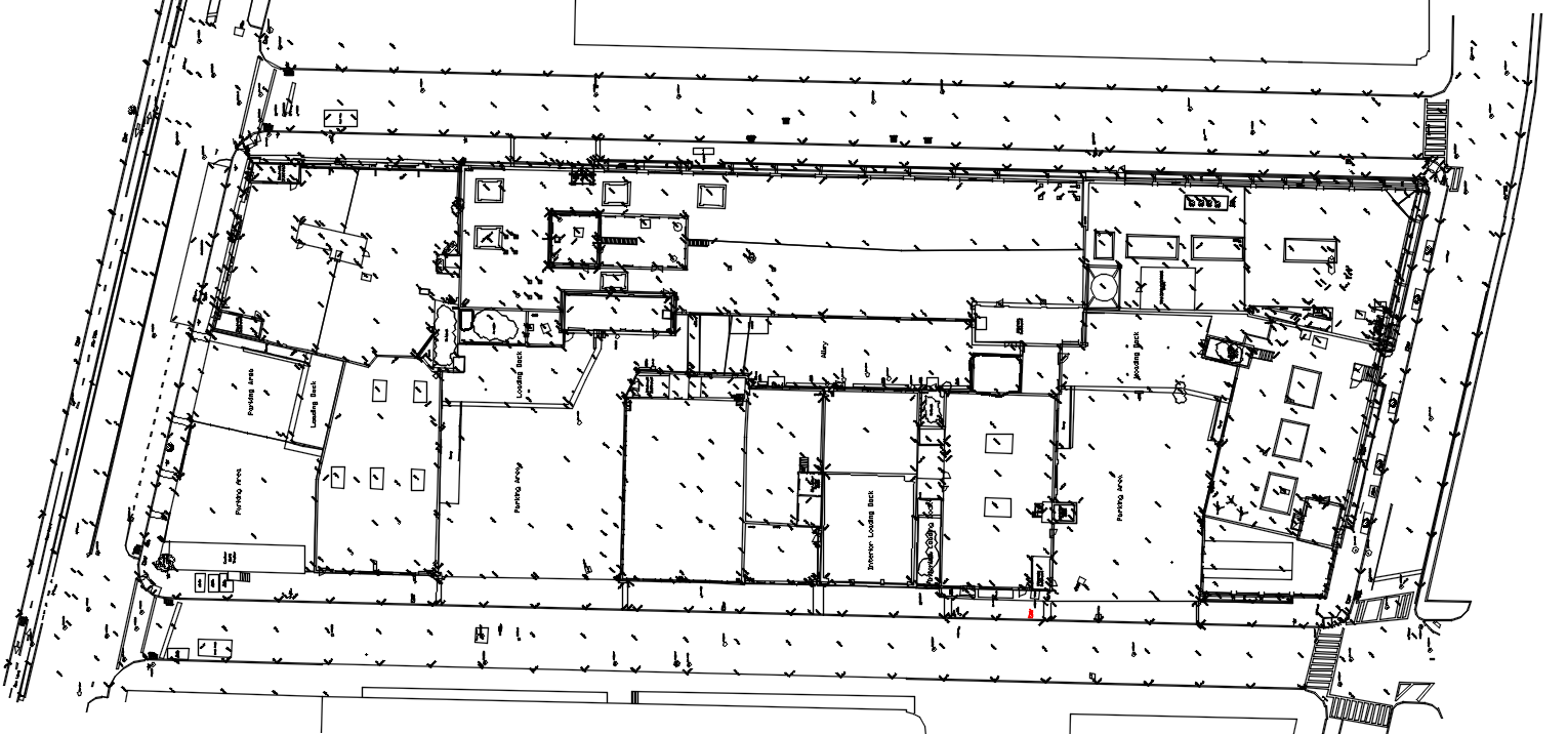
We have done many street surveys and topographic maps utilizing laser scanning to map the existing conditions.
The as-built may consist of utilities, curb lines, street lines, and building lines.
We typically use AutoCAD and Civil 3d to produce the as-built drawings.
Laser scanning the area allows us to safely collect the data at any time, eliminating costly lane shutdowns, police detail, and barrier trucks. Additionally, the data is much more complete than when using traditional methods.