G&P Associates - Blog
The 3D Laser Scanning Process: What Does It Look Like?
Posted: May 3, 2024
Precision is paramount in the world of architecture. It’s the driving force behind the skyscrapers that pierce our skylines and the bridges that connect lands. Enter 3D laser scanning—a technology that is redefining precision, accuracy, and efficiency in the realms of construction and design. For professionals aiming to elevate their projects to new heights, understanding the 3D laser scanning process is not just beneficial; it’s essential.
The Science Behind It
At its core, 3D laser scanning harnesses the power of laser technology to capture the shape of physical objects by scanning them from various angles. The result? A highly detailed, three-dimensional “point cloud” that represents the surveyed environment. This measurement method is more accurate and quicker than traditional surveying techniques, making it the go-to choice in recent years for complex and large-scale projects.
The Tools of the Trade
Professional 3D laser scanners come in multiple forms, from handheld devices for smaller-scale projects to larger to tripod-mounted scanners that can capture vast areas. Each uses laser beams to measure distances to surfaces, mirrors, or other reflective elements to collect data from different directions using precise motors to control the direction of the laser beam with incredible accuracy.
The Process Revealed
From the scanning site to the computer screen, the 3D laser scanning process involves several crucial steps. Here’s an overview of what this process looks like:
- Preparation: Before scanning can commence, preparatory work, such as target placement and calibration of equipment, ensures the capturing of data is as accurate as possible.
- Acquisition: The scanner emits a laser beam in a sweeping motion, bouncing off different surfaces and capturing millions of points with X, Y, and Z coordinates. This creates a point cloud that is the basis of the 3D model.
- Registration: Multiple scans are often needed to cover an entire area. These scans are then registered together, aligning the common features to create a unified point cloud of the entire site.
- Post-processing: Cleaning and processing the point cloud data is necessary to remove noise and ensure the final model is an accurate representation of the environment.
The Applications Are Endless
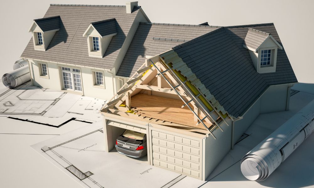
The data acquired through the 3D laser scanning process has diverse applications. It’s invaluable for architects planning renovations, civil engineers mapping new terrain, or even homeowners looking to remodel their homes. The level of detail and accuracy afforded by 3D laser scanning can significantly reduce human error and cut down on project timeframes.
G&P Associates is here to help anyone looking to utilize these types of services. We do it all, from simple home measurement services to larger commercial building scans. 3D laser scanning can be the game-changer you need to open up new opportunities for innovation and design in your next project.